siege, major, medieval
Siege of Rome
Siege of Rome was a siege conducted on 2 March AD 537 at Rome, in what is now Italy; it lasted 12 months. It was part of the Gothic War of 535–554, which ran from AD 535 to AD 554. The recorded result: Byzantine victory. Recorded strength: 5,000 men; 5,600 reinforcements; unknown number of conscripts; Hunnic mercenaries against Larger force.
See it on the globe Read the article

Where it sits in the Gothic War of 535–554
Record
| Date | 2 March AD 537 to 12 March AD 538 | |
|---|---|---|
| Place | Rome, Italy 41.900N, 12.500E | |
| Kind | Siege, medieval | |
| Territorial change | Byzantines captured and successfully defended Rome | |
| Strength | 5,000 men; 5,600 reinforcements; unknown number of conscripts; Hunnic mercenaries | Larger force |
| Commanders |
| |

The ground today
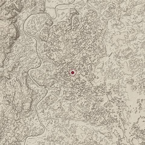
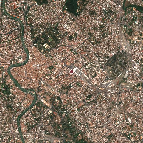
The recorded site stands at about 50 m; within 10.0 km the ground runs from 2 to 147 m, 145 m of relief, gently rolling country and today it is 74% built-up, 23% tree cover.
Elevation from the Copernicus DEM GLO-30 (ESA, Airbus); land cover from ESA WorldCover 2021 (CC BY 4.0), within about 5 km of the recorded site. Computed, not recorded.Nearest engagements
- Hannibal's raid to Rome 211 BC, same recorded site
- Battle of the Colline Gate 82 BC, 0.8 km N
- Via Rasella attack 1944, 1.0 km W
- Siege of the Capitoline Hill AD 69, 1.6 km SW
- Bombing of Rome in World War II 1944, 1.6 km SW
Contested ground: this site was fought over 21 times between 476 BC and 1944.
In the same war
- Before: Siege of Naples September AD 536
- After: Siege of Urbinus AD 538
- All 25 engagements of Gothic War of 535–554
Elsewhere in AD 537
- Battle of Shayuan China
- Battle of Scalas Veteres Tunisia
Siege of Rome is one of 128 engagements of the 6th century in the atlas and one of 1,038 in present-day Italy.
Sources
Identity, coordinates, dates and the war from Wikidata Q1834148, released under CC0. Result, belligerents, commanders, strength and casualties from the infobox of the English Wikipedia article Siege of Rome (537–538), revision 1381232527, read 2026-11-14, licensed CC BY-SA 4.0; the article's text is not reproduced here. Present-day country and state from Natural Earth. Dates before 1582 follow the Julian calendar as recorded.