battle, major, ancient
Battle of Qarqar
Battle of Qarqar was a battle fought in 853 BC at Tell Qarqur, in what is now Syria. It was part of the Assyrian conquest of Aram, which ran from 856 BC to 732 BC. The recorded result: Inconclusive; Assyrian tactical victory in battle; Assyrian advance temporarily halted, strategic defeat.
See it on the globe Read the article

Record
| Date | 853 BC (year precision) | |
|---|---|---|
| Place | Tell Qarqur, Syria 35.743N, 36.331E | |
| Kind | Battle, ancient | |
| Strength | 35,000, including: 20,000 infantry,; 12,000 cavalry,; 1,200 chariots | 53,000–63,000 infantry,; 4,000 chariots,; 2,000 cavalry,; 1,000 camel cavalry |
| Casualties and losses | Unknown | Unknown |
| Commanders |
|
|
The ground today
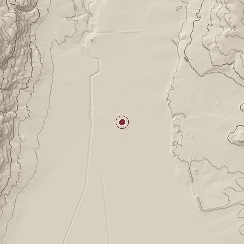
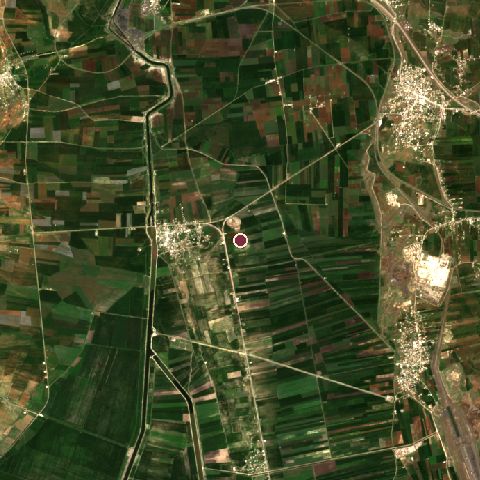
The recorded site stands at about 192 m; within 10.0 km the ground runs from 140 to 790 m, 650 m of relief, steep country and today it is 91% cropland, 4% grassland, 3% built-up.
Elevation from the Copernicus DEM GLO-30 (ESA, Airbus); land cover from ESA WorldCover 2021 (CC BY 4.0), within about 5 km of the recorded site. Computed, not recorded.Nearest engagements
- Siege of Ma'arra 1098, 32 km E
- Battle of Apameia 1501 BC, 37 km S
- Siege of Apamea 45 BC, 37 km S
- Battle of Apamea AD 998, 37 km S
- Battle of Sarmin 1115, 39 km NE
Battle of Qarqar is one of 3 engagements of the 9th century BC in the atlas and one of 139 in present-day Syria.
Sources
Identity, coordinates, dates and the war from Wikidata Q849474, released under CC0. Result, belligerents, commanders, strength and casualties from the infobox of the English Wikipedia article Battle of Qarqar, revision 1376483973, read 2026-11-14, licensed CC BY-SA 4.0; the article's text is not reproduced here. Present-day country and state from Natural Earth. Dates before 1582 follow the Julian calendar as recorded.