battle, landmark, medieval
Battle of the Ice
Battle of the Ice was a battle fought on 5 April 1242 at Lake Peipus, in what is now Russia. It was part of Northern Crusades. The recorded result: Novgorod to Vladimir victory.
See it on the globe Read the article

Where it sits in Northern Crusades
Record
| Date | 5 April 1242 | |
|---|---|---|
| Place | Lake Peipus, Russia 58.233N, 27.500E | |
| Kind | Battle, medieval | |
| Strength | From 200–400 | |
| Commanders |
|
|
The ground today
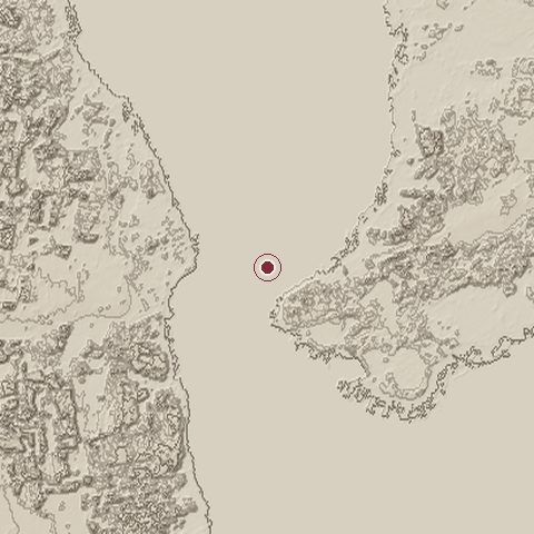
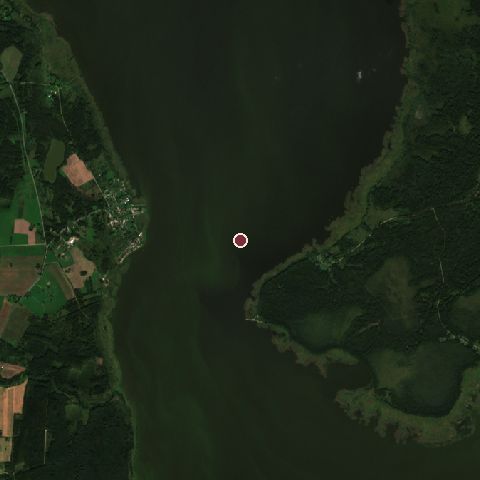
The recorded site stands at about 27 m; within 10.0 km the ground runs from 27 to 68 m, 41 m of relief, flat country and today it is 57% water, 28% tree cover, 8% grassland.
Elevation from the Copernicus DEM GLO-30 (ESA, Airbus); land cover from ESA WorldCover 2021 (CC BY 4.0), within about 5 km of the recorded site. Computed, not recorded.Nearest engagements
- Tartu Offensive 1944, 48 km W
- Siege of Tartu 1704, 48 km W
- Siege of Tartu 1224, 48 km W
- Siege of Dorpat 1656, 48 km W
- Siege of Tartu 1657, 48 km W
In the same war
- Before: Battle of Lihula 8 August 1220
- After: Battle of Wesenberg 28 February 1268
- All 6 engagements of Northern Crusades
Elsewhere in 1242
- First Mongol invasion of Hungary Hungary
- Battle of Taillebourg France
- Battle of Grobnik field Croatia
- Mongol invasion of the Latin Empire Bulgaria
- Siege of Tlemcen Algeria
Battle of the Ice is one of 629 engagements of the 13th century in the atlas and one of 425 in present-day Russia.
Sources
Identity, coordinates, dates and the war from Wikidata Q14689, released under CC0. Result, belligerents, commanders, strength and casualties from the infobox of the English Wikipedia article Battle on the Ice, revision 1370603346, read 2026-11-14, licensed CC BY-SA 4.0; the article's text is not reproduced here. Present-day country and state from Natural Earth. Dates before 1582 follow the Julian calendar as recorded.