battle, landmark, interwar and Second World War
Soviet invasion of Manchuria
Soviet invasion of Manchuria was a battle fought in 1945 at Inner Manchuria, in what is now China. It was part of the Soviet–Japanese War. The recorded result: Soviet victory.
See it on the globe Read the article
Where it sits in the Soviet–Japanese War
Record
| Date | 1945 (year precision) to 1945 | |
|---|---|---|
| Place | Inner Manchuria, China 49.000N, 125.000E | |
| Kind | Battle, interwar and Second World War | |
| Territorial change | Collapse of Japanese puppet statesPartition of the Korean Peninsula at the 38th parallel; Most of Manchuria and Inner Mongolia are returned to the Nationalist government of China by a 1945 bilateral agreement; Parts of Manchuria and Inner Mongolia are secretly handed over to the Chinese Communist Party guerrillas after the Soviet withdrawal in 1946 | |
| Commanders |
| |


The ground today
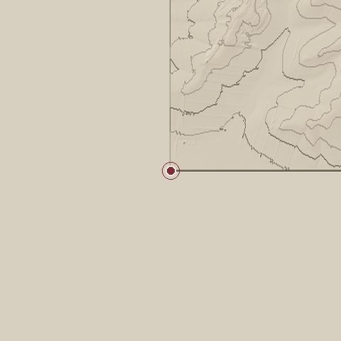
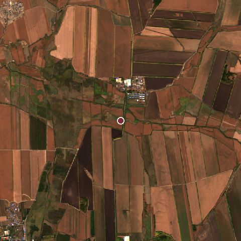
The recorded site stands at about 0 m; within 10.0 km the ground runs from 0 to 342 m, 342 m of relief, hilly country and today it is 87% cropland, 9% grassland, 4% tree cover.
Elevation from the Copernicus DEM GLO-30 (ESA, Airbus); land cover from ESA WorldCover 2021 (CC BY 4.0), within about 5 km of the recorded site. Computed, not recorded.Nearest engagements
- Battle of Nomonhan 1939, 481 km W
- Battles of Khalkhin Gol 1939, 494 km W
- Battle of Buyur Lake 1388, 525 km W
- Siege of Changchun 1948, 567 km S
- Battle of Volochayevka 1922, 696 km E
In the same war
- Before: Soviet assault on Tōro 1945
- After: Khingan-Mukden Offensive Operation 1945
- All 6 engagements of Soviet–Japanese War
Elsewhere in 1945
- atomic bombings of Hiroshima and Nagasaki Japan
- Battle of Berlin Germany
- Battle of Iwo Jima Japan
- Battle of Okinawa Japan
- Bombing of Dresden Germany
Combat data (CDB90)
| Attacker: SOV 5TH COMBINED ARMS ARMY | Defender: JAP 5TH ARMY | |
| Strength | 147,000 | 75,000 |
| Casualties | 10,000 (6.8%) | 36,000 (48.0%) |
| Mission accomplishment, 1 to 10 | 9 | 2 |
| Outcome | attacker won | |
| Duration | 2 days | |
| Front width | 12 km | 12 km |
| Attacker advanced | 160 km | |
From the US Army Concepts Analysis Agency Database of Battles (CDB90, battle 516), public domain, in the CC0 tidy edition by Jeffrey B. Arnold. Figures are the database's estimates, compiled in 1990 from published histories, and may differ from the Wikipedia infobox above.
Soviet invasion of Manchuria is one of 4,429 engagements of the 20th century in the atlas and one of 448 in present-day China.
Sources
Identity, coordinates, dates and the war from Wikidata Q6165880, released under CC0. Result, belligerents, commanders, strength and casualties from the infobox of the English Wikipedia article Soviet invasion of Manchuria, revision 1385627534, read 2026-11-15, licensed CC BY-SA 4.0; the article's text is not reproduced here. Present-day country and state from Natural Earth. Dates before 1582 follow the Julian calendar as recorded.