battle, major, Cold War
South Lebanon conflict
South Lebanon conflict was a battle fought in 1978 at Southern Lebanon, in what is now Lebanon. Its exact site is not recorded; the atlas places it at Southern Lebanon. It was part of the Israeli–Palestinian conflict. The recorded result: Israeli victory.
See it on the globe Read the article
Where it sits in the Israeli–Palestinian conflict
Record
| Date | 1978 (year precision) to 1978 | |
|---|---|---|
| Place | Southern Lebanon, Lebanon 33.197N, 35.345E | |
| Kind | Battle, Cold War | |
| Territorial change | Palestinian withdrawal from South Lebanon | |
| Casualties and losses | 18 killed; 113 wounded | 300–550 killed; 1,100 to 2,000 killed in total (both combatants and civilians); 100,000 to 250,000 internally displaced |
| Commanders |
| |

The ground today
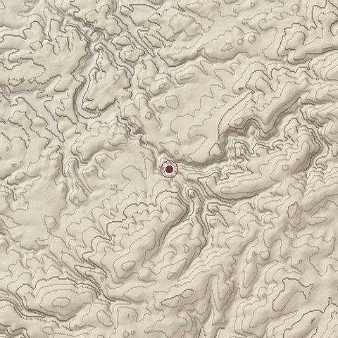
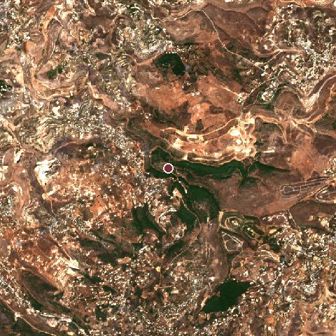
The recorded site stands at about 388 m; within 10.0 km the ground runs from 137 to 878 m, 740 m of relief, steep country and today it is 39% grassland, 31% tree cover, 21% shrubland.
Elevation from the Copernicus DEM GLO-30 (ESA, Airbus); land cover from ESA WorldCover 2021 (CC BY 4.0), within about 5 km of the recorded site. Computed, not recorded.Nearest engagements
- Battle of Jezzine 1941, 14 km N
- Siege of Tyre 1187, 16 km NW
- Siege of Tyre 1124, 16 km NW
- Siege of Tyre 314 BC, 16 km NW
- Siege of Tyre 1243, 16 km NW
In the same war
- Before: Battle of Ain Mahel 1948
- After: 1979 Egyptian Embassy Siege 1979
- All 3 engagements of Israeli–Palestinian conflict
Elsewhere in 1978
- Battle of Kolwezi Democratic Republic of the Congo
- Operation Sovereignty Chile
- Egyptian raid on Larnaca International Airport Cyprus
- Battle of Cassinga Angola
- Operation Reindeer Angola
South Lebanon conflict is one of 4,429 engagements of the 20th century in the atlas and one of 69 in present-day Lebanon.
Sources
Identity, coordinates, dates and the war from Wikidata Q1121402, released under CC0. Result, belligerents, commanders, strength and casualties from the infobox of the English Wikipedia article 1978 South Lebanon conflict, revision 1374105109, read 2026-11-15, licensed CC BY-SA 4.0; the article's text is not reproduced here. Present-day country and state from Natural Earth. Dates before 1582 follow the Julian calendar as recorded.