battle, major, nineteenth century
Battle of Shiroyama
Battle of Shiroyama was a battle fought on 24 September 1877 at Mount Shiroyama, in what is now Japan. It was part of the Satsuma Rebellion, which ran from 2005 to 1877. The recorded result: Imperial victory. Recorded strength: 30,000 against 500.
See it on the globe Read the article

Record
| Date | 24 September 1877 | |
|---|---|---|
| Place | Mount Shiroyama, Japan 31.597N, 130.550E | |
| Kind | Battle, nineteenth century | |
| Strength | 30,000 | 500 |
| Casualties and losses | 30 killed | 500 killed |
| Commanders | ||


The ground today
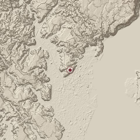
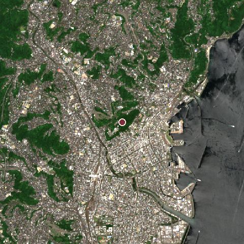
The recorded site stands at about 115 m; within 10.0 km the ground runs from -2 to 282 m, 284 m of relief, hilly country and today it is 61% built-up, 22% tree cover, 16% water.
Elevation from the Copernicus DEM GLO-30 (ESA, Airbus); land cover from ESA WorldCover 2021 (CC BY 4.0), within about 5 km of the recorded site. Computed, not recorded.Nearest engagements
- Bombardment of Kagoshima 1863, 0.2 km SW
- Siege of Kagoshima 1587, 0.7 km E
- Battle of Fusenonhai 1537, 8.5 km NW
- Siege of Iwatsurugi Castle 1554, 14 km NE
- Battle of Ichiki Tsurumaru Castle 1539, 20 km W
Contested ground: this site was fought over 3 times between 1587 and 1877.
In the same war
- Before: Siege of Kumamoto Castle 19 February 1877
Elsewhere in 1877
- Siege of Plevna Bulgaria
- Battle of Shipka Pass Bulgaria
- Battle of Nikopol Bulgaria
- Battle of Aladzha Turkey
- Battle of Gorni Dubnik Bulgaria
Battle of Shiroyama is one of 3,694 engagements of the 19th century in the atlas and one of 604 in present-day Japan.
Sources
Identity, coordinates, dates and the war from Wikidata Q1788393, released under CC0. Result, belligerents, commanders, strength and casualties from the infobox of the English Wikipedia article Battle of Shiroyama, revision 1372934772, read 2026-11-14, licensed CC BY-SA 4.0; the article's text is not reproduced here. Present-day country and state from Natural Earth. Dates before 1582 follow the Julian calendar as recorded.