battle, major, medieval
Battle of Saule
Battle of Saule was a battle fought on 22 September 1236 at Latvia, in what is now Lithuania. It was part of the Livonian Crusade. The recorded result: Samogitian and Semigalian victory. Recorded strength: 3,000 against 4,000–5,000.
See it on the globe Read the article

Where it sits in the Livonian Crusade
Record
| Date | 22 September 1236 | |
|---|---|---|
| Place | Latvia, Lithuania 56.114N, 23.514E | |
| Kind | Battle, medieval | |
| Territorial change | Dissolution of the Livonian Brothers of the Sword and formation of the Livonian Order | |
| Strength | 3,000 | 4,000–5,000 |
| Casualties and losses | 48–60 knights killed; 2,700 total killed | 1,200 total killed |
| Commanders |
| |
The ground today
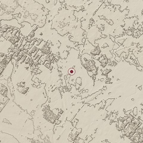
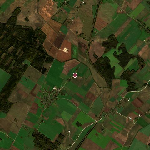
The recorded site stands at about 74 m; within 10.0 km the ground runs from 69 to 115 m, 46 m of relief, flat country and today it is 74% cropland, 20% tree cover, 4% grassland.
Elevation from the Copernicus DEM GLO-30 (ESA, Airbus); land cover from ESA WorldCover 2021 (CC BY 4.0), within about 5 km of the recorded site. Computed, not recorded.Nearest engagements
- Šiauliai Offensive 1944, 33 km SE
- Battle of Gemauerthof 1705, 36 km N
- Operation Doppelkopf 1944, 38 km SW
- Battle of Saladen 1703, 55 km E
- Battle of Tryszki 1701, 58 km W
In the same war
- Before: Siege of Tartu 15 August 1224
- After: Battle of Embūte 1244
- All 17 engagements of Livonian Crusade
Elsewhere in 1236
- Siege of Bilär Russia
- Siege of Kolomna Russia
- Siege of Khokhanaberd Azerbaijan
- Sack of Erbil Iraq
- Siege of Ranthambore India
Battle of Saule is one of 629 engagements of the 13th century in the atlas and one of 56 in present-day Lithuania.
Sources
Identity, coordinates, dates and the war from Wikidata Q853754, released under CC0. Result, belligerents, commanders, strength and casualties from the infobox of the English Wikipedia article Battle of Saule, revision 1376210378, read 2026-11-14, licensed CC BY-SA 4.0; the article's text is not reproduced here. Present-day country and state from Natural Earth. Dates before 1582 follow the Julian calendar as recorded.