battle, major, medieval
Battle of Pressburg
Battle of Pressburg was a battle fought in AD 907 at Bratislava, in what is now Slovakia. Its exact site is not recorded; the atlas places it at Bratislava. It was part of the Hungarian conquest of the Carpathian Basin, which ran from AD 900 to 1000. The recorded result: Hungarian victory.
See it on the globe Read the article

Record
| Date | AD 907 (year precision) | |
|---|---|---|
| Place | Bratislava, Slovakia 48.152N, 17.109E | |
| Kind | Battle, medieval | |
| Casualties and losses | Heavy, among other losses: Prince Luitpold, Margrave of Bavaria, Prince Sieghard, Archbishop Theotmar of Salzburg, 2 bishops, 3 abbots and 19 counts | Not significant |
| Commanders |
|
|
The ground today
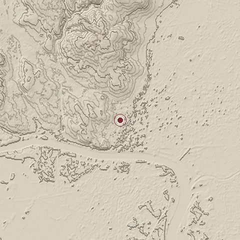
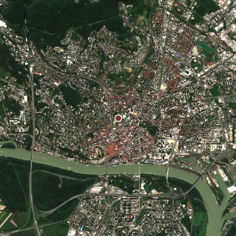
The recorded site stands at about 159 m; within 10.0 km the ground runs from 123 to 453 m, 330 m of relief, hilly country and today it is 48% built-up, 41% tree cover, 7% water.
Elevation from the Copernicus DEM GLO-30 (ESA, Airbus); land cover from ESA WorldCover 2021 (CC BY 4.0), within about 5 km of the recorded site. Computed, not recorded.Nearest engagements
- Battle of Blumenau 1866, 6.1 km NW
- Battle of the Theben Pass 1060, 9.7 km W
- Siege of Hainburg 1482, 12 km W
- Battle of Moson 1848, 33 km S
- Battle on the Marchfeld 1278, 40 km NW
Elsewhere in AD 907
- Battle of Fahs al-Riyah Algeria
Battle of Pressburg is one of 186 engagements of the 10th century in the atlas and one of 47 in present-day Slovakia.
Sources
Identity, coordinates, dates and the war from Wikidata Q697722, released under CC0. Result, belligerents, commanders, strength and casualties from the infobox of the English Wikipedia article Battle of Pressburg, revision 1381600025, read 2026-11-14, licensed CC BY-SA 4.0; the article's text is not reproduced here. Present-day country and state from Natural Earth. Dates before 1582 follow the Julian calendar as recorded.