battle, major, nineteenth century
Battle of Novara
Battle of Novara was a battle fought on 23 March 1849 at Novara, in what is now Italy. It was part of First Italian War of Independence, which ran from 1848 to 1849. The recorded result: Austrian victory; Abdication of Charles Albert. Recorded strength: 45,000 to 59,000 against 41,000 to 70,000.
See it on the globe Read the article

Where it sits in First Italian War of Independence
Record
| Date | 23 March 1849 | |
|---|---|---|
| Place | Novara, Italy 45.431N, 8.716E | |
| Kind | Battle, nineteenth century | |
| Strength | 45,000 to 59,000 | 41,000 to 70,000 |
| Casualties and losses | 5,946: 1,378 killed; 2,181 wounded; 2,387 captured | 2,657: 466 killed; 1,670 wounded; 521 missing or captured |
| Commanders |
| |

The ground today
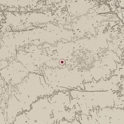
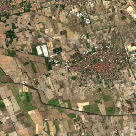
The recorded site stands at about 136 m; within 10.0 km the ground runs from 108 to 165 m, 56 m of relief, gently rolling country and today it is 78% cropland, 12% built-up, 5% tree cover.
Elevation from the Copernicus DEM GLO-30 (ESA, Airbus); land cover from ESA WorldCover 2021 (CC BY 4.0), within about 5 km of the recorded site. Computed, not recorded.Nearest engagements
- Battle of Novara 1821, same recorded site
- Battle of Novara 1513, 0.5 km NE
- Battle of Magenta 1859, 7.2 km E
- Combat of Turbigo 1800, 11 km N
- Battle of Parabiago 1339, 17 km NE
Contested ground: this site was fought over 3 times between 1513 and 1849.
In the same war
- Before: Battle of Mortara 21 March 1849
- After: Siege of Ancona 1849
- All 16 engagements of First Italian War of Independence
Elsewhere in 1849
- Battle of Chillianwala Pakistan
- Battle of Temesvár Romania
- Battle of Gujrat Pakistan
- Battle of Segesvár Romania
- Battle of Heligoland Germany
Battle of Novara is one of 3,694 engagements of the 19th century in the atlas and one of 1,038 in present-day Italy.
Sources
Identity, coordinates, dates and the war from Wikidata Q837787, released under CC0. Result, belligerents, commanders, strength and casualties from the infobox of the English Wikipedia article Battle of Novara (1849), revision 1382463444, read 2026-11-14, licensed CC BY-SA 4.0; the article's text is not reproduced here. Present-day country and state from Natural Earth. Dates before 1582 follow the Julian calendar as recorded.