battle, major, early modern
Battle of Naseby
Battle of Naseby was a battle fought on 14 June 1645 at Naseby, in what is now United Kingdom. It was part of the English Civil War, which ran from 1642 to 1651. The recorded result: Parliamentarian victory. Recorded strength: 6,000 horse, 7,000 foot, 676 dragoons against 4,100 horse, 3,300 foot.
See it on the globe Read the article

Where it sits in the English Civil War
Record
| Date | 14 June 1645 | |
|---|---|---|
| Place | Naseby, United Kingdom 52.416N, 0.995W | |
| Kind | Battle, early modern | |
| Strength | 6,000 horse, 7,000 foot, 676 dragoons | 4,100 horse, 3,300 foot |
| Casualties and losses | 200 killed; 535 wounded | 1,000 killed or wounded; 4,500 captured |
| Commanders | ||


The ground today
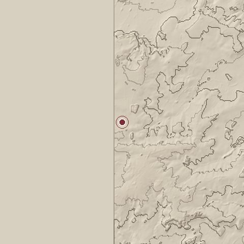
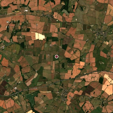
The recorded site stands at about 157 m; within 10.0 km the ground runs from 0 to 201 m, 201 m of relief, hilly country and today it is 47% cropland, 40% grassland, 10% tree cover.
Elevation from the Copernicus DEM GLO-30 (ESA, Airbus); land cover from ESA WorldCover 2021 (CC BY 4.0), within about 5 km of the recorded site. Computed, not recorded.Nearest engagements
- Battle of Northampton 1264, 21 km S
- Battle of Northampton 1460, 23 km S
- Battle of Bosworth Field 1485, 34 km NW
- Battle of Olney Bridge 1643, 36 km SE
- Battle of Edgcote 1469, 38 km SW
In the same war
- Before: Battle of Weymouth 27 February 1645
- After: Siege of Bristol 10 September 1645
- All 23 engagements of English Civil War
Elsewhere in 1645
- Battle of Jankau Czechia
- Battle of Nördlingen Germany
- Battle of Herbsthausen Germany
- Siege of Hulst Netherlands
- Siege of Brno (1645) Czech Republic
Combat data (CDB90)
| Attacker: ENG ROY ARMY | Defender: ENG PARL ARMY | |
| Strength | 9,000 | 13,000 |
| Casualties | 6,000 (66.7%) | 1,000 (7.7%) |
| Mission accomplishment, 1 to 10 | 4 | 9 |
| Outcome | defender won | |
| Duration | 1 day | |
| Front width | 1.6 km | 1.6 km |
| Attacker advanced | -0.3 km | |
From the US Army Concepts Analysis Agency Database of Battles (CDB90, battle 25), public domain, in the CC0 tidy edition by Jeffrey B. Arnold. Figures are the database's estimates, compiled in 1990 from published histories, and may differ from the Wikipedia infobox above.
Historic England registers this as the Battle of Naseby battlefield (entry 1000023), 452 hectares, under the Open Government Licence.
Battle of Naseby is one of 1,553 engagements of the 17th century in the atlas and one of 753 in present-day United Kingdom.
Sources
Identity, coordinates, dates and the war from Wikidata Q949724, released under CC0. Result, belligerents, commanders, strength and casualties from the infobox of the English Wikipedia article Battle of Naseby, revision 1383177143, read 2026-11-14, licensed CC BY-SA 4.0; the article's text is not reproduced here. Present-day country and state from Natural Earth. Battlefield boundary and area from Historic England (Open Government Licence). Dates before 1582 follow the Julian calendar as recorded.