battle, major, early modern
Battle of Khotyn
Battle of Khotyn was a battle fought in 1621 at Khotyn, in what is now Ukraine. Its exact site is not recorded; the atlas places it at Khotyn. It was part of the Moldavian Magnate Wars, which ran from 1593 to 1621. The recorded result: Polish-Lithuanian victory.
See it on the globe Read the article

Where it sits in the Moldavian Magnate Wars
Record
| Date | 1621 (year precision) to 1621 | |
|---|---|---|
| Place | Khotyn, Ukraine 48.508N, 26.486E | |
| Kind | Battle, early modern | |
| Territorial change | Ottoman forces repulsed from Khotyn | |
| Strength | 25,000 Polish-Lithuanian troops: 4,800 Lithuanian infantry; 3,500 Lithuanian cavalry.; 20,000–25,000 Zaporozhian Cossacks | 120,000–160,000 Ottoman and Tatar, 13,000 Moldavian and Wallachian troops; 34,825 Kapikulu (regular army)': ~18,000 Janissary; ~1,800 Cebeci; ~1,300 artillery corps; ~13,000 Kapikulu cavalry. |
| Casualties and losses | 14,000 killed | 40,000–80,000 killed |
| Commanders |
|
|

The ground today
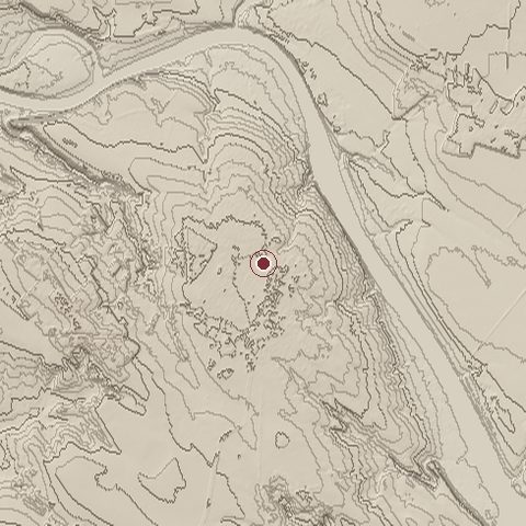
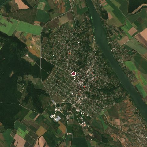
The recorded site stands at about 246 m; within 10.0 km the ground runs from 115 to 303 m, 188 m of relief, hilly country and today it is 42% tree cover, 24% cropland, 23% grassland.
Elevation from the Copernicus DEM GLO-30 (ESA, Airbus); land cover from ESA WorldCover 2021 (CC BY 4.0), within about 5 km of the recorded site. Computed, not recorded.Nearest engagements
- Battle of Khotyn 1673, 1.3 km SE
- Siege of Khotin 1788, 1.8 km NE
- Battle of Zhvanets 1653, 4.9 km N
- Siege of Kamenets 1655, 20 km N
- Siege of Kamenets 1672, 21 km N
In the same war
Elsewhere in 1621
- Siege of Montauban France
- Battle of Gibraltar Spain
- Siege of Riga Latvia
- Siege of Saint-Jean-d'Angély France
- Siege of Jülich Germany
Battle of Khotyn is one of 1,553 engagements of the 17th century in the atlas and one of 321 in present-day Ukraine.
Sources
Identity, coordinates, dates and the war from Wikidata Q860981, released under CC0. Result, belligerents, commanders, strength and casualties from the infobox of the English Wikipedia article Battle of Khotyn (1621), revision 1385653323, read 2026-11-14, licensed CC BY-SA 4.0; the article's text is not reproduced here. Present-day country and state from Natural Earth. Dates before 1582 follow the Julian calendar as recorded.