siege, landmark, ancient
Siege of Jerusalem
Siege of Jerusalem was a siege conducted in February AD 70 at Jerusalem, in what is now Israel. It was part of First Jewish-Roman War, which ran from AD 66 to AD 74. The recorded result: Roman victory.
See it on the globe Read the article

Where it sits in First Jewish-Roman War
Record
| Date | February AD 70 (month precision) to 8 September AD 70 | |
|---|---|---|
| Place | Jerusalem, Israel 31.778N, 35.236E | |
| Kind | Siege, ancient | |
| Commanders |
|
|
The ground today
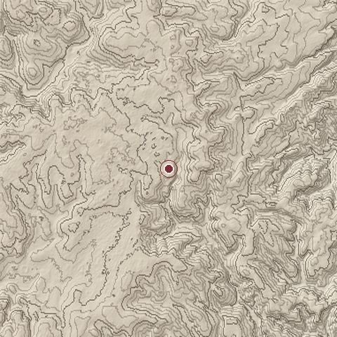
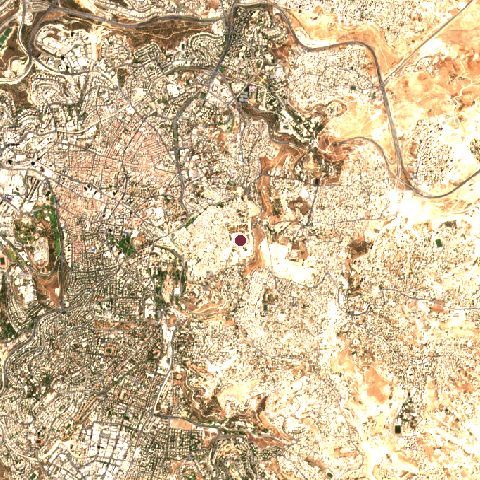
The recorded site stands at about 745 m; within 10.0 km the ground runs from 360 to 847 m, 487 m of relief, steep country and today it is 76% built-up, 12% grassland, 8% tree cover.
Elevation from the Copernicus DEM GLO-30 (ESA, Airbus); land cover from ESA WorldCover 2021 (CC BY 4.0), within about 5 km of the recorded site. Computed, not recorded.Nearest engagements
- Siege of Jerusalem 597 BC, 0.6 km W
- Battle of Jerusalem AD 66, 0.6 km W
- Battle of Jerusalem 1917, 0.8 km W
- Operation Kilshon date unknown, 1.2 km W
- King David Hotel bombing 1946, 1.3 km W
Contested ground: this site was fought over 24 times between 1010 BC and 1967.
In the same war
- Before: Battle of the Jordan River AD 68
- After: Siege of Machaerus AD 71
- All 21 engagements of First Jewish-Roman War
Elsewhere in AD 70
- Attack on the Roman camp in Bonn Germany
- Battle of Vada Germany
Siege of Jerusalem is one of 63 engagements of the 1st century in the atlas and one of 179 in present-day Israel.
Sources
Identity, coordinates, dates and the war from Wikidata Q844886, released under CC0. Result, belligerents, commanders, strength and casualties from the infobox of the English Wikipedia article Siege of Jerusalem (70 CE), revision 1383882998, read 2026-11-14, licensed CC BY-SA 4.0; the article's text is not reproduced here. Present-day country and state from Natural Earth. Dates before 1582 follow the Julian calendar as recorded.