battle, major, nineteenth century
Japanese invasion of Taiwan
Japanese invasion of Taiwan was a battle fought in 1874 at Hengchun Peninsula, in what is now Taiwan. Its exact site is not recorded; the atlas places it at Hengchun Peninsula. The recorded result: Japanese victory. Recorded strength: Land: 3,600; Sea: 6 warships against Unknown.
See it on the globe Read the article
Record
| Date | 1874 (year precision) to 1874 | |
|---|---|---|
| Place | Hengchun Peninsula, Taiwan 22.073N, 120.821E | |
| Kind | Battle, nineteenth century | |
| Territorial change | Japanese occupation of southern Taiwan; Qing renunciation of suzerainty over the Ryukyu Islands | |
| Strength | Land: 3,600; Sea: 6 warships | Unknown |
| Casualties and losses | 12 killed; ~30 wounded; 561 died from disease | 89 killed; Many wounded |
| Commanders |
| |
The ground today
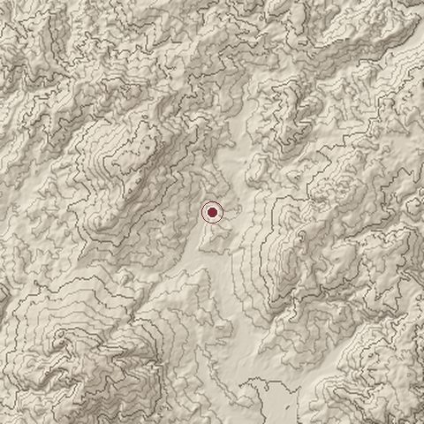
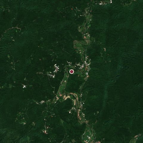
The recorded site stands at about 101 m; within 10.0 km the ground runs from 17 to 673 m, 656 m of relief, steep country and today it is 97% tree cover.
Elevation from the Copernicus DEM GLO-30 (ESA, Airbus); land cover from ESA WorldCover 2021 (CC BY 4.0), within about 5 km of the recorded site. Computed, not recorded.Nearest engagements
- Siege of Fort Zeelandia 1661, 124 km NW
- Battle of Penghu 1683, 197 km NW
- Raid on Penghu date unknown, 207 km NW
- Pescadores Campaign 1895, 208 km NW
- Battle of O͘-gû-lân 1947, 211 km N
Elsewhere in 1874
- Battle of Abárzuza Spain
- Battle of Amoaful Ghana
- Siege of Bilbao Spain
- Second Battle of Adobe Walls United States
- Battle of Las Guásimas Cuba
Japanese invasion of Taiwan is one of 3,694 engagements of the 19th century in the atlas and one of 50 in present-day Taiwan.
Sources
Identity, coordinates, dates and the war from Wikidata Q703942, released under CC0. Result, belligerents, commanders, strength and casualties from the infobox of the English Wikipedia article 1874 Japanese expedition to Taiwan, revision 1384309062, read 2026-11-15, licensed CC BY-SA 4.0; the article's text is not reproduced here. Present-day country and state from Natural Earth. Dates before 1582 follow the Julian calendar as recorded.