battle, landmark, interwar and Second World War
Italian invasion of Albania
Italian invasion of Albania was a battle fought in 1939 at Albania. Its exact site is not recorded; the atlas places it at Albania. It was part of interwar period, which ran from 1918 to 1939. The recorded result: Italian victory; Albania becomes an Italian protectorate; King Zog I flees to Greece; Albanian resistance begins.
See it on the globe Read the article
Where it sits in interwar period
Record
| Date | 1939 (year precision) to 1939 | |
|---|---|---|
| Place | Albania 41.000N, 20.000E | |
| Kind | Battle, interwar and Second World War | |
| Strength | 22,000 soldiers; 400 aircraft; 2 battleships; 3 heavy cruisers; 3 light cruisers; 9 destroyers; 14 torpedo boats; 1 minelayer; 10 auxiliary ships; 9 transport ships | 8,000 soldiers; 5 aircraft; 3 torpedo boats |
| Casualties and losses | Possibly 700 killed (according to Bernd Jürgen Fischer; 12–25 killed (Italian claim); 97 wounded | 700+ killed (according to Fischer); 160 killed and several hundreds wounded (according to Pearson); 5 aircraft; 3 torpedo boats |
| Commanders |
|
|
The ground today
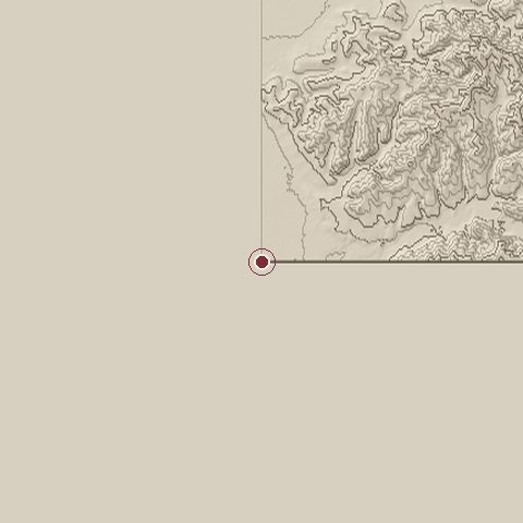
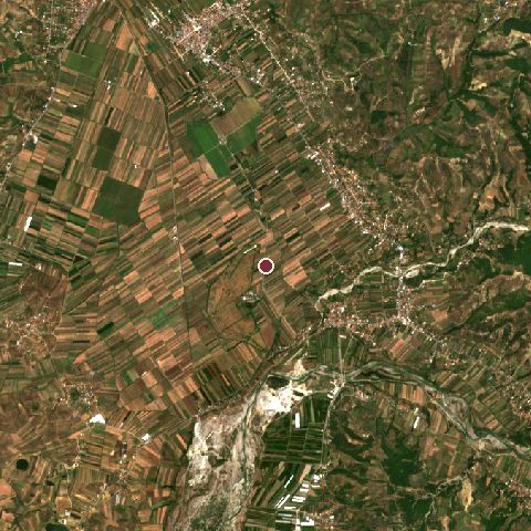
The recorded site stands at about 0 m; within 10.0 km the ground runs from 0 to 312 m, 312 m of relief, hilly country and today it is 44% cropland, 35% tree cover, 12% grassland.
Elevation from the Copernicus DEM GLO-30 (ESA, Airbus); land cover from ESA WorldCover 2021 (CC BY 4.0), within about 5 km of the recorded site. Computed, not recorded.Nearest engagements
- Battle of Savra 1385, 29 km SW
- Siege of Berat 1455, 33 km S
- Siege of Berat 1280, 33 km S
- Battle of Dyrrhachium 1081, 54 km NW
- Battle of Dyrrhachium 48 BC, 58 km NW
In the same war
- Before: Battle of Bir Tagrift 25 February 1928
- All 3 engagements of interwar period
Elsewhere in 1939
Italian invasion of Albania is one of 4,429 engagements of the 20th century in the atlas and one of 62 in present-day Albania.
Sources
Identity, coordinates, dates and the war from Wikidata Q714644, released under CC0. Result, belligerents, commanders, strength and casualties from the infobox of the English Wikipedia article Italian invasion of Albania, revision 1385761664, read 2026-11-15, licensed CC BY-SA 4.0; the article's text is not reproduced here. Present-day country and state from Natural Earth. Dates before 1582 follow the Julian calendar as recorded.