Atlas of Battles

battle, major, medieval

Hungarian invasions of Europe

Hungarian invasions of Europe was a battle fought in AD 820 at Western Europe, in what is now France; it lasted about 150 years. Its exact site is not recorded; the atlas places it at Western Europe. Recorded strength: c. 25,000 warriors maximum (but variable) against c. 40,000 (variable).

See it on the globe Read the article

FoughtAD 820lasted about 150 years
WhereWestern Europe, France47.409N, 2.537E, placed at the location, approximate
OutcomeBetween 899 and 970, the researchers count 47 (38 to West and 9 to East) campaigns in different parts of Europe. (8 were unsuccessful, the others ended with success).; European rulers paid tribute to the Hungarians and hired Hungarian warriors.; The Hungarian victory at the Battle of Pressburg (907) secured the Hungarian state in the Carpathian Basin and deterred German invasions until 1030.; Hungarian pre-emptive campaigns against the German unification culminated in the Battle of Lechfeld (955), after which Hungarian incursions into Germany ceased and the Holy Roman Empire became established.
BelligerentsHungarian tribes; Principality of HungaryagainstKingdom of Italy; East Francia; Middle Francia; Great Moravia; Byzantine Empire; Catalan Counties; Upper March of Al-Andalus; First Bulgarian Empire; Khazaria; West Francia; Lower Pannonia; Principality of Littoral Croatia; Kingdom of Croatia; Principality of Serbia; Duchy of Carinthia
Casualties and lossesMostly not significantandMostly heavy.; Some villages and cities burned.

Record

DateAD 820 (year precision)
to AD 970
PlaceWestern Europe, France
47.409N, 2.537E
KindBattle, medieval
Strengthc. 25,000 warriors maximum (but variable)c. 40,000 (variable)
Casualties and lossesMostly not significantMostly heavy.; Some villages and cities burned.
Commanders
  • Árpád
  • Bogát
  • Bulcsú (chieftain)
  • Lehel
  • Súr (chieftain)
  • Kisa (chieftain)
  • Berengar I of Italy
  • Louis the Child
  • Luitpold, Margrave of Bavaria
  • Arnulf, Duke of Bavaria
  • Henry the Fowler
  • Otto the Great
Hungarian invasions of EuropeHungarian invasions of EuropeSiege of SancerreSiege of AvaricumSiege of BourgesSiege of BourgesSiege of La CharitéSiege of SancerreSiege of AvaricumToursOrléansLe MansTroyesNeversAuxerreMelunPoitier100 km47.409N, 2.537E
Placed at Western Europe; the exact site is not recorded. with the nearest other engagements in the atlas. Present-day coastlines, rivers and borders; towns from Natural Earth.

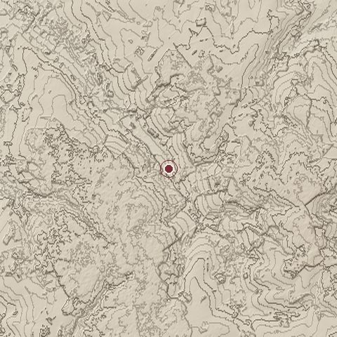
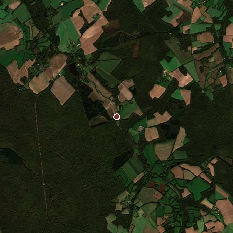
The ground today

Relief of the ground around the site of Hungarian invasions of Europe
Relief within about 10.0 km of the site, contours every 10 m. Copernicus DEM GLO-30, ESA.
Satellite view of the site of Hungarian invasions of Europe today
The same ground from Sentinel-2 on 2024-10-21. Contains modified Copernicus Sentinel data 2024.

The recorded site stands at about 245 m; within 10.0 km the ground runs from 202 to 382 m, 180 m of relief, hilly country and today it is 69% tree cover, 25% cropland, 6% grassland.

tree cover: 69%cropland: 25%grassland: 6%tree cover 69%cropland 25%grassland 6%
west to east, 10.0 km242 to 366 mnorth to south, 10.0 km240 to 334 m
Elevation from the Copernicus DEM GLO-30 (ESA, Airbus); land cover from ESA WorldCover 2021 (CC BY 4.0), within about 5 km of the recorded site. Computed, not recorded.

Nearest engagements

Hungarian invasions of Europe is one of 193 engagements of the 9th century in the atlas and one of 1,495 in present-day France.

Sources

Identity, coordinates, dates and the war from Wikidata Q282226, released under CC0. Result, belligerents, commanders, strength and casualties from the infobox of the English Wikipedia article Hungarian invasions of Europe, revision 1385844891, read 2026-11-15, licensed CC BY-SA 4.0; the article's text is not reproduced here. Present-day country and state from Natural Earth. Dates before 1582 follow the Julian calendar as recorded.