siege, major, early modern
Siege of Güns
Siege of Güns was a siege conducted on 5 August 1532 at Kőszeg, in what is now Hungary; it lasted 25 days. It was part of the Habsburg–Ottoman wars in Hungary, which ran from 1526 to 1568. The recorded result: The defenders prevented the Ottoman advance into Vienna. Recorded strength: 700–800 against 100,000–120,000.
See it on the globe Read the article

Where it sits in the Habsburg–Ottoman wars in Hungary
Record
| Date | 5 August 1532 to 30 August 1532 | |
|---|---|---|
| Place | Kőszeg, Hungary 47.388N, 16.542E | |
| Kind | Siege, early modern | |
| Strength | 700–800 | 100,000–120,000 |
| Casualties and losses | Heavy | Moderate losses |
| Commanders |
|
|

The ground today
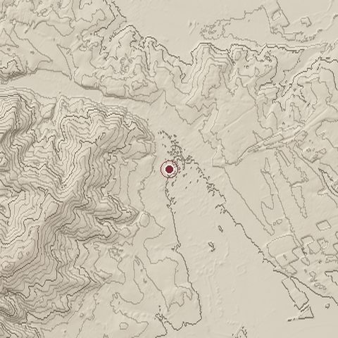
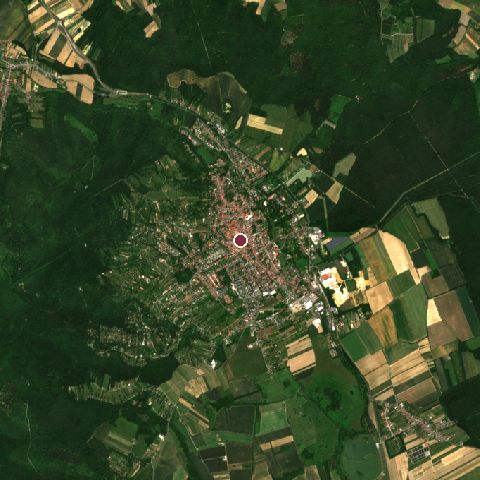
The recorded site stands at about 275 m; within 10.0 km the ground runs from 210 to 731 m, 521 m of relief, steep country and today it is 61% tree cover, 18% grassland, 14% cropland.
Elevation from the Copernicus DEM GLO-30 (ESA, Airbus); land cover from ESA WorldCover 2021 (CC BY 4.0), within about 5 km of the recorded site. Computed, not recorded.Nearest engagements
- Battle of the Leitha River 1246, 45 km NW
- Siege of Wiener Neustadt 1487, 52 km NW
- Battle of Saint Gotthard 1664, 55 km SW
- Battle of Csorna 1849, 59 km NE
- Battle of Moson 1848, 76 km NE
In the same war
- After: Siege of Marburg 21 September 1532
- All 4 engagements of Habsburg–Ottoman wars in Hungary
Elsewhere in 1532
- Battle of Cajamarca Peru
- Battle of Chimborazo Ecuador
- Battle of Huanucopampa Peru
- Siege of Cherkasy Ukraine
- Siege of Yamashina Hongan-ji Japan
Siege of Güns is one of 1,470 engagements of the 16th century in the atlas and one of 128 in present-day Hungary.
Sources
Identity, coordinates, dates and the war from Wikidata Q673641, released under CC0. Result, belligerents, commanders, strength and casualties from the infobox of the English Wikipedia article Siege of Kőszeg, revision 1375078191, read 2026-11-14, licensed CC BY-SA 4.0; the article's text is not reproduced here. Present-day country and state from Natural Earth. Dates before 1582 follow the Julian calendar as recorded.