battle, major, medieval
Battle of Evesham
Battle of Evesham was a battle fought on 4 August 1265 at Evesham, in what is now United Kingdom. It was part of Second Barons' War, which ran from 1264 to 1267. The recorded result: Royal victory. Recorded strength: 10,000 against 5,000.
See it on the globe Read the article

Where it sits in Second Barons' War
Record
| Date | 4 August 1265 | |
|---|---|---|
| Place | Evesham, United Kingdom 52.108N, 1.946W | |
| Kind | Battle, medieval | |
| Strength | 10,000 | 5,000 |
| Casualties and losses | Few | Nearly 4,000 |
| Commanders |
|
|


The ground today
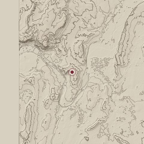
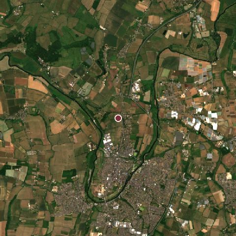
The recorded site stands at about 58 m; within 10.0 km the ground runs from 0 to 131 m, 131 m of relief, gently rolling country and today it is 41% grassland, 22% tree cover, 21% cropland.
Elevation from the Copernicus DEM GLO-30 (ESA, Airbus); land cover from ESA WorldCover 2021 (CC BY 4.0), within about 5 km of the recorded site. Computed, not recorded.Nearest engagements
- Battle of Ripple Field 1643, 18 km SW
- Battle of Upton 1651, 19 km W
- Battle of Tewkesbury 1471, 20 km SW
- Battle of Worcester 1651, 21 km NW
- Siege of Worcester 1646, 21 km NW
In the same war
- Before: Battle of Lewes 14 May 1264
- After: Siege of Kenilworth June 1266
- All 4 engagements of Second Barons' War
Elsewhere in 1265
- Fall of Arsuf Israel
- Fall of Haifa Israel
- Fall of Caesarea Israel
- Battle of Isaszeg Hungary
- Battle of the Orontes Turkey
Historic England registers this as the Battle of Evesham battlefield (entry 1000010), 124 hectares, under the Open Government Licence.
Battle of Evesham is one of 629 engagements of the 13th century in the atlas and one of 753 in present-day United Kingdom.
Sources
Identity, coordinates, dates and the war from Wikidata Q1339928, released under CC0. Result, belligerents, commanders, strength and casualties from the infobox of the English Wikipedia article Battle of Evesham, revision 1370110145, read 2026-11-14, licensed CC BY-SA 4.0; the article's text is not reproduced here. Present-day country and state from Natural Earth. Battlefield boundary and area from Historic England (Open Government Licence). Dates before 1582 follow the Julian calendar as recorded.