battle, major, nineteenth century
Battle of Dybbøl
Battle of Dybbøl was a battle fought on 18 April 1864 at Dybbøl Banke, in what is now Denmark. It was part of Second Schleswig War. The recorded result: Prussian victory.
See it on the globe Read the article

Where it sits in Second Schleswig War
Record
| Date | 18 April 1864 | |
|---|---|---|
| Place | Dybbøl Banke, Denmark 54.907N, 9.758E | |
| Kind | Battle, nineteenth century | |
| Strength | 11,000 (first wave); 26,000 (in reserve); 126 guns | 5,000 (at the defences) 6,000 (in reserve); 66 guns; 11 mortars; 1 ironclad warship |
| Casualties and losses | 263 killed; 909 wounded; 29 missing; Total: 1,201 | 671 killed; 987 wounded; 3,534 captured; Total: 5,192 |
| Commanders |
| |

The ground today
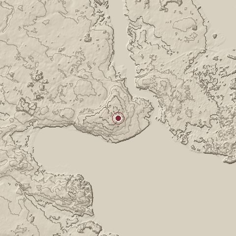
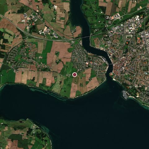
The recorded site stands at about 58 m; within 10.0 km the ground runs from -3 to 67 m, 70 m of relief, gently rolling country and today it is 40% water, 20% grassland, 17% cropland.
Elevation from the Copernicus DEM GLO-30 (ESA, Airbus); land cover from ESA WorldCover 2021 (CC BY 4.0), within about 5 km of the recorded site. Computed, not recorded.Nearest engagements
- Battle of Als 1864, 13 km NE
- Battle of Sankelmark 1864, 29 km SW
- Battle of Mysunde 1864, 43 km S
- Battle of Lyrskov Heath 1043, 44 km SW
- Battle for Königshügel 1864, 49 km S
In the same war
- Before: Battle of Jasmund 17 March 1864
- After: Battle of Heligoland 9 May 1864
- All 9 engagements of Second Schleswig War
Elsewhere in 1864
- Battle of Cold Harbor United States
- Sherman's March to the Sea United States
- Battle of the Wilderness United States
- Battle of Spotsylvania Court House United States
- Siege of Petersburg United States
Battle of Dybbøl is one of 3,694 engagements of the 19th century in the atlas and one of 74 in present-day Denmark.
Sources
Identity, coordinates, dates and the war from Wikidata Q695107, released under CC0. Result, belligerents, commanders, strength and casualties from the infobox of the English Wikipedia article Battle of Dybbøl, revision 1384053722, read 2026-11-14, licensed CC BY-SA 4.0; the article's text is not reproduced here. Present-day country and state from Natural Earth. Dates before 1582 follow the Julian calendar as recorded.