battle, major, interwar and Second World War
Coventry Blitz
Coventry Blitz was a battle fought in 1940 at Coventry, in what is now United Kingdom; it lasted about 2 years. Its exact site is not recorded; the atlas places it at Coventry. It was part of the home front during World War II. The recorded result: Coventry city centre severely damaged by German air raids.
See it on the globe Read the article
Where it sits in the home front during World War II
Record
| Date | 1940 (year precision) to 1942 | |
|---|---|---|
| Place | Coventry, United Kingdom 52.417N, 1.517W | |
| Kind | Battle, interwar and Second World War | |
The ground today
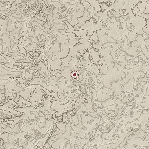
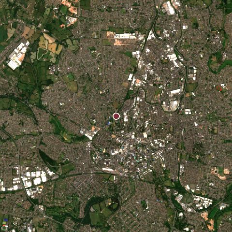
The recorded site stands at about 100 m; within 10.0 km the ground runs from 59 to 190 m, 131 m of relief, gently rolling country and today it is 58% built-up, 29% tree cover, 12% grassland.
Elevation from the Copernicus DEM GLO-30 (ESA, Airbus); land cover from ESA WorldCover 2021 (CC BY 4.0), within about 5 km of the recorded site. Computed, not recorded.Nearest engagements
- Siege of Kenilworth 1266, 9.3 km SW
- Battle of Bosworth Field 1485, 21 km N
- Battle of Camp Hill 1643, 25 km W
- Birmingham Blitz 1940, 27 km W
- Battle of Kings Norton 1642, 28 km W
In the same war
Elsewhere in 1940
- Battle of Britain United Kingdom
- Battle of France Belgium
- Dunkirk evacuation France
- Operation Weserübung Norway
- Battle of Dunkirk France
Coventry Blitz is one of 4,429 engagements of the 20th century in the atlas and one of 753 in present-day United Kingdom.
Sources
Identity, coordinates, dates and the war from Wikidata Q1875586, released under CC0. Result, belligerents, commanders, strength and casualties from the infobox of the English Wikipedia article Coventry Blitz, revision 1379160608, read 2026-11-15, licensed CC BY-SA 4.0; the article's text is not reproduced here. Present-day country and state from Natural Earth. Dates before 1582 follow the Julian calendar as recorded.