battle, major, early modern
Battle of Buxar
Battle of Buxar was a battle fought on 6 November 1764 at Buxar, in what is now India. It was part of the Bengal War, which ran from 1756 to 1765. The recorded result: British victoryTreaty of Allahabad. Recorded strength: 7,072 against 40,112.
See it on the globe Read the article

Record
| Date | 6 November 1764 | |
|---|---|---|
| Place | Buxar, India 25.567N, 83.983E | |
| Kind | Battle, early modern | |
| Strength | 7,072 | 40,112 |
| Casualties and losses | 289 killed; 499 wounded; 85 missing | 2,000 killed; 4,000 wounded |
| Commanders |
|
|
The ground today
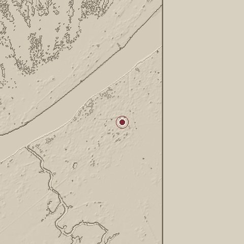
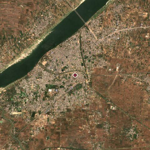
The recorded site stands at about 64 m; within 10.0 km the ground runs from 0 to 83 m, 83 m of relief, gently rolling country and today it is 38% cropland, 33% built-up, 14% tree cover.
Elevation from the Copernicus DEM GLO-30 (ESA, Airbus); land cover from ESA WorldCover 2021 (CC BY 4.0), within about 5 km of the recorded site. Computed, not recorded.Nearest engagements
- Siege of Arrah 1857, 68 km E
- Battle of Ghaghra 1529, 86 km E
- Battle of Jit Gadhi 1814, 243 km N
- Battle of Kathmandu 1768, 276 km NE
- Siege of Lucknow 1857, 338 km NW
Elsewhere in 1764
- Battle of Atakpamé Togo
- Battle of Słonim Belarus
- Battle of Sirhind India
- Siege of Rohtas Pakistan
Battle of Buxar is one of 2,126 engagements of the 18th century in the atlas and one of 376 in present-day India.
Sources
Identity, coordinates, dates and the war from Wikidata Q2355467, released under CC0. Result, belligerents, commanders, strength and casualties from the infobox of the English Wikipedia article Battle of Buxar, revision 1381670071, read 2026-11-14, licensed CC BY-SA 4.0; the article's text is not reproduced here. Present-day country and state from Natural Earth. Dates before 1582 follow the Julian calendar as recorded.