battle, major, medieval
Battle of Breadfield
Battle of Breadfield was a battle fought on 13 October 1479 at Breadfield, in what is now Romania. It was part of the Ottoman–Hungarian Wars, which ran from 1366 to 1526. The recorded result: Hungarian victory.
See it on the globe Read the article

Where it sits in the Ottoman–Hungarian Wars
Record
| Date | 13 October 1479 | |
|---|---|---|
| Place | Breadfield, Romania 45.938N, 23.344E | |
| Kind | Battle, medieval | |
| Strength | 12,000–15,000 men (Hungarians, Székelys, Transylvanian Saxons, Serbs, Poles, Transylvanian Vlachs) | Around 30,000 men consisting of Akıncı, Sipahi and Azaps, and some Janissary; 1,000–2,000 Wallachian mercenaries; or up to 60,000 |
| Casualties and losses | 8,000 killed (Hungarian claim) | 30,000 Ottomans & Wallachians (Hungarian claim) |
| Commanders |
|
|
The ground today
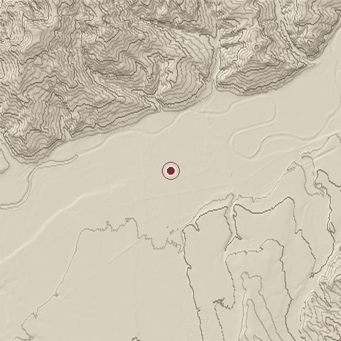
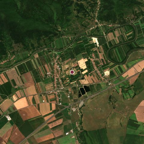
The recorded site stands at about 212 m; within 10.0 km the ground runs from 199 to 748 m, 549 m of relief, steep country and today it is 46% cropland, 27% grassland, 21% tree cover.
Elevation from the Copernicus DEM GLO-30 (ESA, Airbus); land cover from ESA WorldCover 2021 (CC BY 4.0), within about 5 km of the recorded site. Computed, not recorded.Nearest engagements
- Siege of Gyulafehérvár 1849, 23 km NE
- Battle of Piski 1849, 26 km SW
- Battle of Sarmisegetusa AD 106, 35 km S
- Battle of Mount Csindrel 1916, 46 km SE
- Battle of Vízakna 1849, 56 km E
In the same war
- Before: Battle of Vaslui 10 January 1475
- After: Ottoman invasion of Otranto August 1481
- All 7 engagements of Ottoman–Hungarian Wars
Elsewhere in 1479
- Battle of Guinegate France
- Battle of Sakainehara Japan
- Siege of Dole France
- Battle of La Albuera Spain
- Battle of Poggio Imperiale Italy
Battle of Breadfield is one of 743 engagements of the 15th century in the atlas and one of 135 in present-day Romania.
Sources
Identity, coordinates, dates and the war from Wikidata Q690291, released under CC0. Result, belligerents, commanders, strength and casualties from the infobox of the English Wikipedia article Battle of Breadfield, revision 1370435153, read 2026-11-14, licensed CC BY-SA 4.0; the article's text is not reproduced here. Present-day country and state from Natural Earth. Dates before 1582 follow the Julian calendar as recorded.