siege, landmark, medieval
Siege of Belgrade
Siege of Belgrade was a siege conducted on 4 July 1456 at Belgrade, in what is now Serbia; it lasted 18 days. It was part of the Serbian–Ottoman Wars, which ran from 1352 to 1913. The recorded result: Hungarian victory.
See it on the globe Read the article

Where it sits in the Serbian–Ottoman Wars
Record
| Date | 4 July 1456 to 22 July 1456 | |
|---|---|---|
| Place | Belgrade, Serbia 44.817N, 20.467E | |
| Kind | Siege, medieval | |
| Strength | 7,000 Castle defenders of Michael Szilágyi; 10,000–12,000 Professional army of John Hunyadi (mostly cavalry); A motley army about 30,000–60,000 recruited Crusaders (with only some professional units); 200 boats (only 1 galley); 40 boats from the city; Artillery | 30,000; 60,000; higher estimates of 100,000; 21–200 vessels; 300 cannons (22 large ones), 7 siege engines (2 mortars) |
| Casualties and losses | 4,000 men; or <10,000 | 13,000; 3 large galleys sunk, 24 vessels captured (4 large, 20 smaller); 300 cannons |
| Commanders |
|
|


The ground today
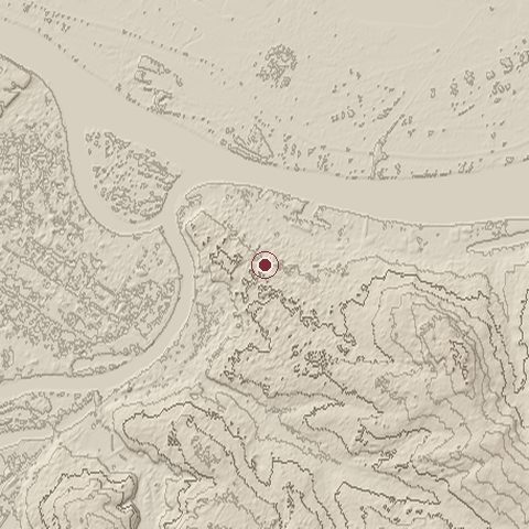
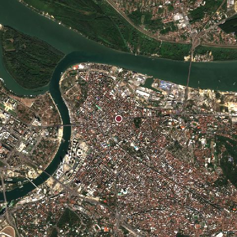
The recorded site stands at about 100 m; within 10.0 km the ground runs from 59 to 260 m, 201 m of relief, hilly country and today it is 52% built-up, 25% tree cover, 16% water.
Elevation from the Copernicus DEM GLO-30 (ESA, Airbus); land cover from ESA WorldCover 2021 (CC BY 4.0), within about 5 km of the recorded site. Computed, not recorded.Nearest engagements
- Siege of Belgrade 1521, same recorded site
- Siege of Belgrade 1688, same recorded site
- Siege of Belgrade 1789, same recorded site
- Siege of Belgrade 1690, same recorded site
- Siege of Belgrade 1787, same recorded site
Contested ground: this site was fought over 15 times between AD 592 and 1944.
In the same war
- Before: Siege of Novo Brdo April 1455
- All 4 engagements of Serbian–Ottoman Wars
Elsewhere in 1456
- Battle of Oranik North Macedonia
- Battle of Bornholm Denmark
- Siege of Deventer Netherlands
- Siege of Smederevo (1456) Serbia
Siege of Belgrade is one of 743 engagements of the 15th century in the atlas and one of 115 in present-day Serbia.
Sources
Identity, coordinates, dates and the war from Wikidata Q244980, released under CC0. Result, belligerents, commanders, strength and casualties from the infobox of the English Wikipedia article Siege of Belgrade (1456), revision 1384653185, read 2026-11-14, licensed CC BY-SA 4.0; the article's text is not reproduced here. Present-day country and state from Natural Earth. Dates before 1582 follow the Julian calendar as recorded.