siege, major, medieval
Siege of Bari
Siege of Bari was a siege conducted on 5 August 1068 at Bari, in what is now Italy; it lasted 2.7 years. It was part of the Byzantine–Norman Wars, which ran from 1039 to 1189. The recorded result: Norman victory. Recorded strength: Bari garrison, other Byzantine reinforcements and 20 ships against Norman army and fleet, unknown size.
See it on the globe Read the article

Where it sits in the Byzantine–Norman Wars
Record
| Date | 5 August 1068 to 15 April 1071 | |
|---|---|---|
| Place | Bari, Italy 41.125N, 16.867E | |
| Kind | Siege, medieval | |
| Territorial change | End of Byzantine Italy | |
| Strength | Bari garrison, other Byzantine reinforcements and 20 ships | Norman army and fleet, unknown size |
| Casualties and losses | Heavy, including civilians | Heavy |
| Commanders |
|
|
The ground today
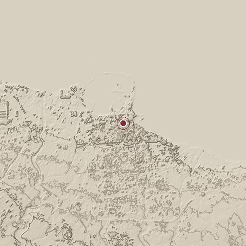
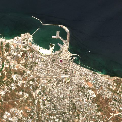
The recorded site stands at about 16 m; within 10.0 km the ground runs from -5 to 70 m, 75 m of relief, gently rolling country and today it is 43% built-up, 42% water, 6% tree cover.
Elevation from the Copernicus DEM GLO-30 (ESA, Airbus); land cover from ESA WorldCover 2021 (CC BY 4.0), within about 5 km of the recorded site. Computed, not recorded.Nearest engagements
- Air Raid on Bari 1943, 1.0 km S
- Siege of Modugno 1799, 8.4 km SW
- Battle of Bitonto 1734, 15 km W
- Battle of Ruvo 1503, 32 km W
- Barletta Challenge 1502, 41 km NW
In the same war
Elsewhere in 1068
- Battle of Kerlés Romania
- Battle of the Alta River Ukraine
- Battle of Misilmeri Italy
- Battle of Llantada Spain
- Battle of Snovsk Ukraine
Siege of Bari is one of 334 engagements of the 11th century in the atlas and one of 1,038 in present-day Italy.
Sources
Identity, coordinates, dates and the war from Wikidata Q815120, released under CC0. Result, belligerents, commanders, strength and casualties from the infobox of the English Wikipedia article Siege of Bari, revision 1370739282, read 2026-11-14, licensed CC BY-SA 4.0; the article's text is not reproduced here. Present-day country and state from Natural Earth. Dates before 1582 follow the Julian calendar as recorded.