battle, major, ancient
Battle of Badon
Battle of Badon was a battle fought in AD 500 at United Kingdom. It was part of Anglo-Saxon settlement of England, which ran from AD 450 to AD 625. The recorded result: Brittonic victory.
See it on the globe Read the article
Where it sits in Anglo-Saxon settlement of England
Record
| Date | AD 500 (year precision) | |
|---|---|---|
| Place | United Kingdom 51.380N, 2.360W | |
| Kind | Battle, ancient | |
| Commanders |
| |
The ground today
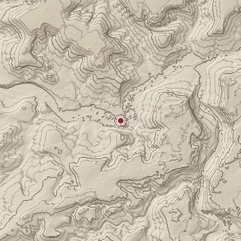
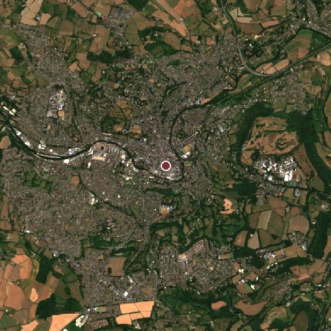
The recorded site stands at about 26 m; within 10.0 km the ground runs from 10 to 250 m, 240 m of relief, hilly country and today it is 49% tree cover, 27% built-up, 23% grassland.
Elevation from the Copernicus DEM GLO-30 (ESA, Airbus); land cover from ESA WorldCover 2021 (CC BY 4.0), within about 5 km of the recorded site. Computed, not recorded.Nearest engagements
- Battle of Lansdowne 1643, 6.4 km NW
- Battle of Edington AD 878, 11 km NE
- Battle of Deorham AD 577, 12 km N
- Siege of Bristol 1645, 17 km NW
- Siege of Bristol 1326, 18 km NW
In the same war
- Before: Battle of Mercredesburne AD 485
- After: Battle of Beran Byrig AD 556
- All 10 engagements of Anglo-Saxon settlement of England
Elsewhere in AD 500
- Migration Period in the Iberian Peninsula Spain
- Battle of Dijon France
- Battle of Tribuit United Kingdom
- Siege of Avignon France
Battle of Badon is one of 92 engagements of the 5th century in the atlas and one of 753 in present-day United Kingdom.
Sources
Identity, coordinates, dates and the war from Wikidata Q595320, released under CC0. Result, belligerents, commanders, strength and casualties from the infobox of the English Wikipedia article Battle of Badon, revision 1383171043, read 2026-11-14, licensed CC BY-SA 4.0; the article's text is not reproduced here. Present-day country and state from Natural Earth. Dates before 1582 follow the Julian calendar as recorded.