battle, major, interwar and Second World War
Battle of Annual
Battle of Annual was a battle fought on 22 July 1921 at Annual, in what is now Morocco; it lasted 18 days. It was part of the Rif War, which ran from 1911 to 1927. The recorded result: Riffian victory; Proclamation of the Republic of the Rif.
See it on the globe Read the article
Where it sits in the Rif War
Record
| Date | 22 July 1921 to 9 August 1921 | |
|---|---|---|
| Place | Annual, Morocco 35.120N, 3.583W | |
| Kind | Battle, interwar and Second World War | |
| Commanders |
|
|
The ground today
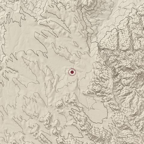
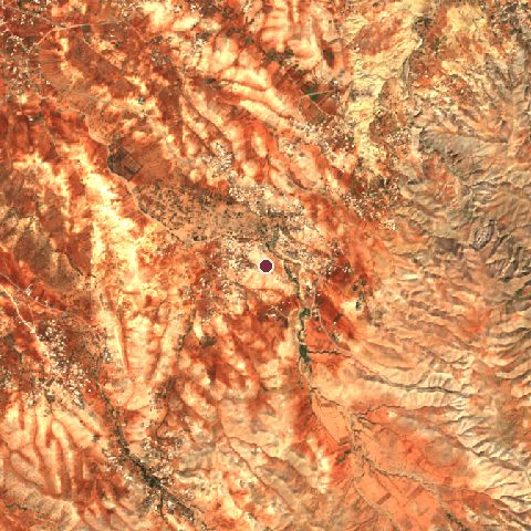
The recorded site stands at about 387 m; within 10.0 km the ground runs from 116 to 933 m, 818 m of relief, steep country and today it is 54% grassland, 31% cropland, 9% shrubland.
Elevation from the Copernicus DEM GLO-30 (ESA, Airbus); land cover from ESA WorldCover 2021 (CC BY 4.0), within about 5 km of the recorded site. Computed, not recorded.Nearest engagements
- Siege of Sidi Dris 1921, 11 km N
- Siege of Afrau 1921, 15 km NE
- First Melillan campaign 1893, 40 km W
- Mediterranean U-boat Campaign 1941, 41 km NE
- Battle of Oued Aslaf 1847, 51 km S
In the same war
- Before: Siege of Ighriben 1921
- After: Siege of Afrau 22 July 1921
- All 13 engagements of Rif War
Elsewhere in 1921
- Red Army invasion of Georgia Azerbaijan
- Battle of Sakarya Turkey
- Battle of Blair Mountain United States
- Second Battle of İnönü Turkey
- First Battle of İnönü Turkey
Battle of Annual is one of 4,429 engagements of the 20th century in the atlas and one of 159 in present-day Morocco.
Sources
Identity, coordinates, dates and the war from Wikidata Q1138460, released under CC0. Result, belligerents, commanders, strength and casualties from the infobox of the English Wikipedia article Battle of Annual, revision 1384205013, read 2026-11-14, licensed CC BY-SA 4.0; the article's text is not reproduced here. Present-day country and state from Natural Earth. Dates before 1582 follow the Julian calendar as recorded.